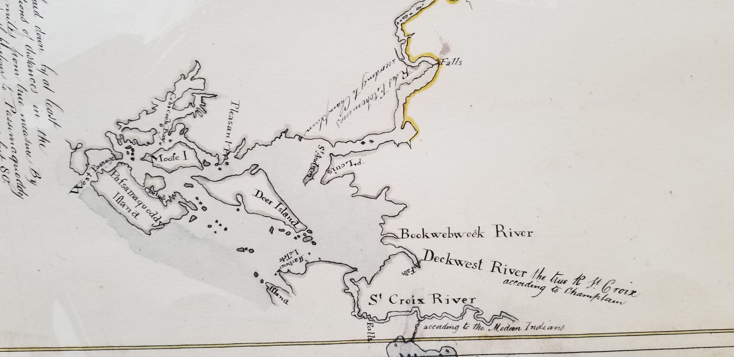
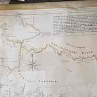
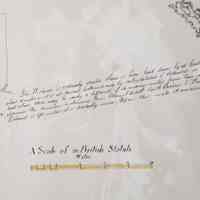
Governor Bernard's 1764 Map of Eastern Maine, detail
Digital
By the 1760's, with the Seven Year's War successfully concluded between Great Britain and France, Boston investors were hungry to acquire the hitherto undeveloped lands in Eastern Maine. Royal Governor Sir Francis Bernard commissioned a survey of the coast between the Penobscot River and the Passamaquoddy Bay to lay out thirteen townships and cement the British claim to what had formerly been French Acadia. The Stamp Act crisis in 1765 frustrated these plans, driving a wedge between royal authority and New England, and placing these plans on hold. Meanwhile, adventurers, discharged soldiers, and others began visiting and settling in the area. Between 1770 and 1771 Captain William Owen RN, in his role as proprietor of Campobello Island, noted over a thousand visits to Passamaquoddy Bay by those he described as "hunters, fisherman and puritanical settlers." Not until after the American Revolution did these lands in Eastern Maine become permanently open to settlement. The uncertain knowledge of the region is reflected in the note added by the map's creator, who wrote " The Distance is certainly greater than here laid down . . ." as well as the misplacement of what is called the St Croix River, a confusion that would have significant consequences for the determination of the boundary between Great Britain and her former American colonies.
Photos for Map
1764
Wabanaki Musuem, Indian Township, Maine
These images are used by kind permission of Donald Socotmah, Passmamquoddy Tribal Historic Preservation Officer.
