Discover. Preserve. Share.
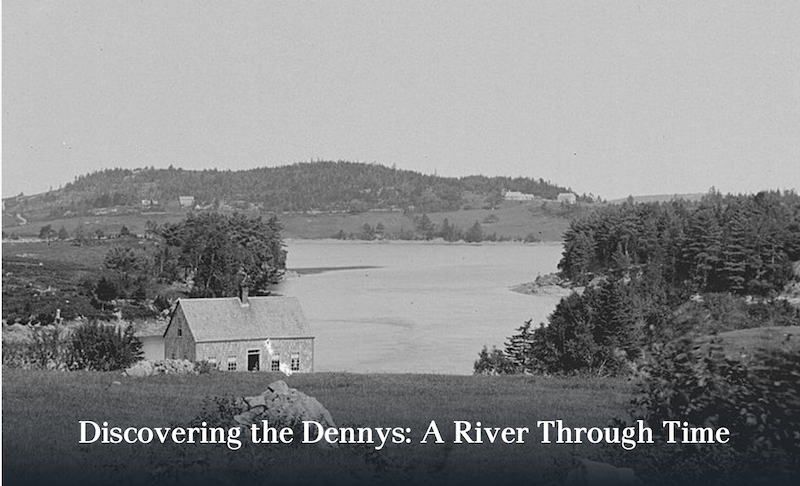
The Dennys River has served for over 9000 years as a seventeen-mile corridor linking the inland community of the ancestral Passamaquoddy tribe at Meddybemps to Cobscook Bay and the Atlantic Ocean. This native American homeland hosted European exploration by French Acadians in the early seventeenth century and permanent settlement following the American Revolution.
Explore Our Collections:
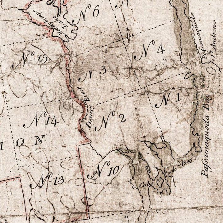
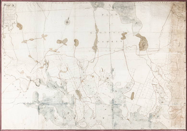
If it were possible to view the story of your community in a moment of time, what would you see? Through this interactive map, we are telling the history of the Dennys River over 9000 years, from its origins in the Native American Dawnland, to the awakening of the spirit of conservation in the twenty-first century.
In the seven chronological layers of this digital map, you can follow the story of the Dennys River, of the communities it has served, and still does. By selecting any one of these layers, the viewer will be able to explore the places of historical significance within each era.
Where & When
FEATURED:
Around 1900, Machias businessman Everett I. White purchased thousands of acres in and around Edmunds and built a steam mill on the shore by the South Edmunds Road across from Hallowell’s Island. In 1908, a disastrous forest fire consumed most of the forest land and burned the mill to the ground.
DID YOU KNOW?
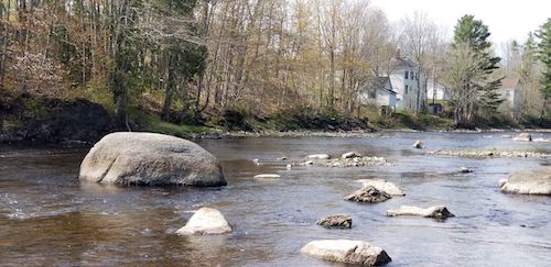
Audubon’s Rock, Dennys River, Maine
View from the Edmunds side of the river. The Mattheson house and the Dennysville Post Office are in the background.
Audubon’s Rock, Dennys River, Maine. Stories have been passed down that this was where John J. Audubon sat while making some of his sketches.
Maps
From 1795 - present
Become a Member.
Get exclusive access to 25 years of newsletter archives – digitized for easy access so you can do research on this historical region at your own pace.

