Go back


All Entries
Conservation Land around the Reversing Falls in Pembroke and Trescott, Maine, 2022
Map
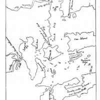
David Owen's Sketch of Passamaquoddy Bay, with early French settlement at Reversing Falls on Cobscook [Bay] River
Map
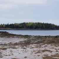
Dram Island, Dennys Bay, Maine
Photograph
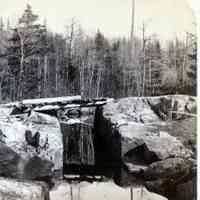
Flume on the Dennys River, Maine
Photograph
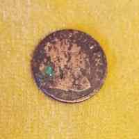
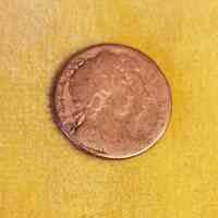
French Double Tournois, 1641
Coin
Google Earth view of the Dennys River
Map
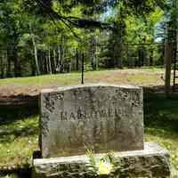
Hallowell Family Gravestone, Edmunds, Maine
Photograph
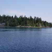
Hallowell's Island, Edmunds, Maine
Photograph
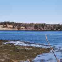
Mahar's Point, Pembroke Maine
Photograph
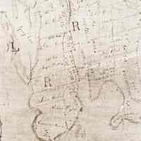
Map of Early Settlers at Young's Cove and Mahar's Point, near Cobscook Bay Reversing Falls, c. 1800
Work on Paper
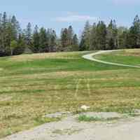
Reversing Falls Park, Pembroke, Maine
Photograph
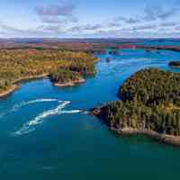
Reversing Falls, Leighton's Point, Pembroke, Maine
Photograph
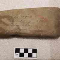
Stone Chisel, Falls Island, Cobscook Bay, Maine
Object/Artifact
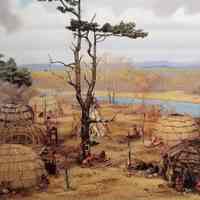
Wabanaki Encampment at Reversing Falls
Postcard
Watercolor of Denny (Neptune) Socabasin
Art
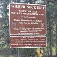
Wilbur's Neck Wildlife Managment Area, Pembroke, Maine
Photograph