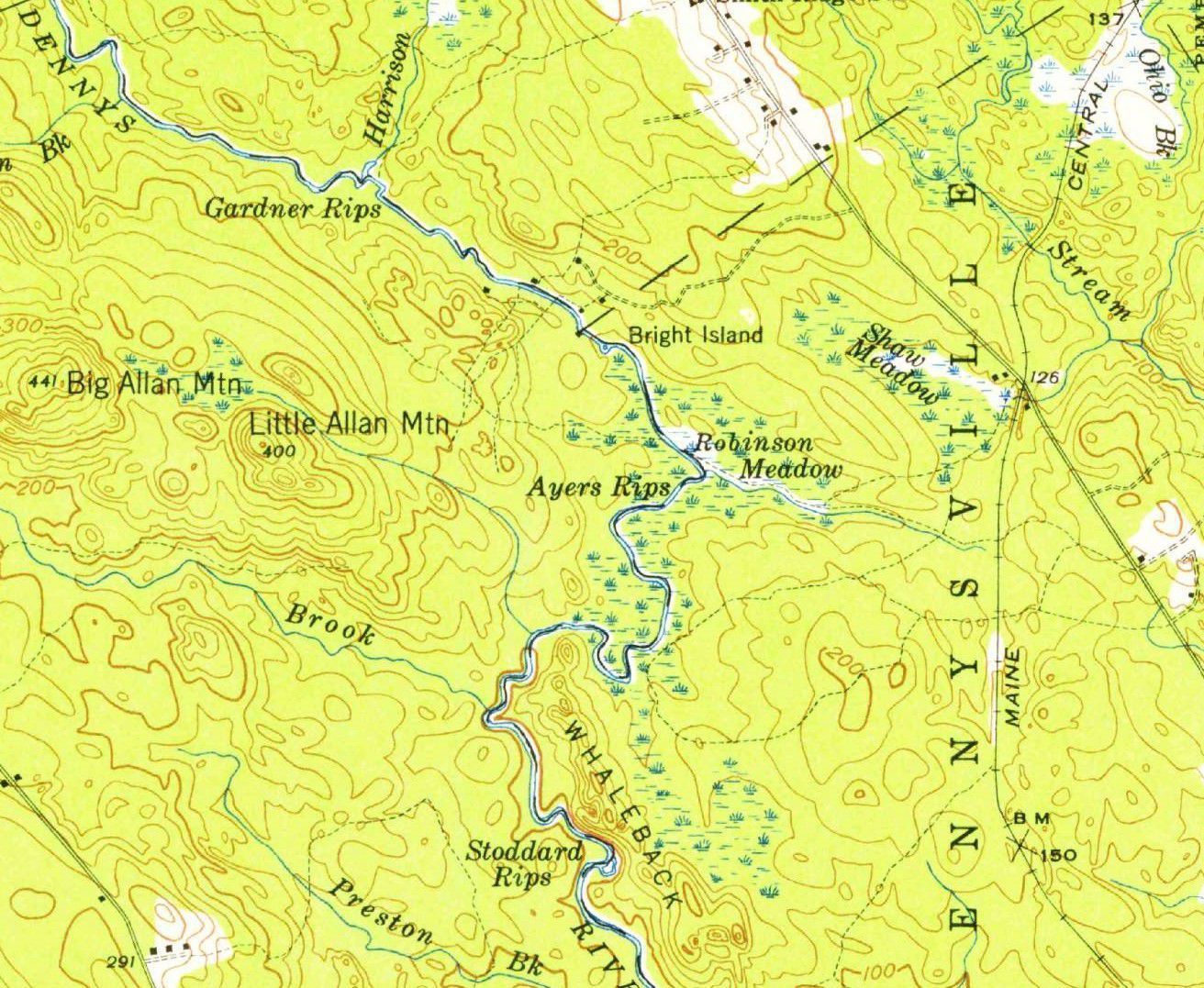
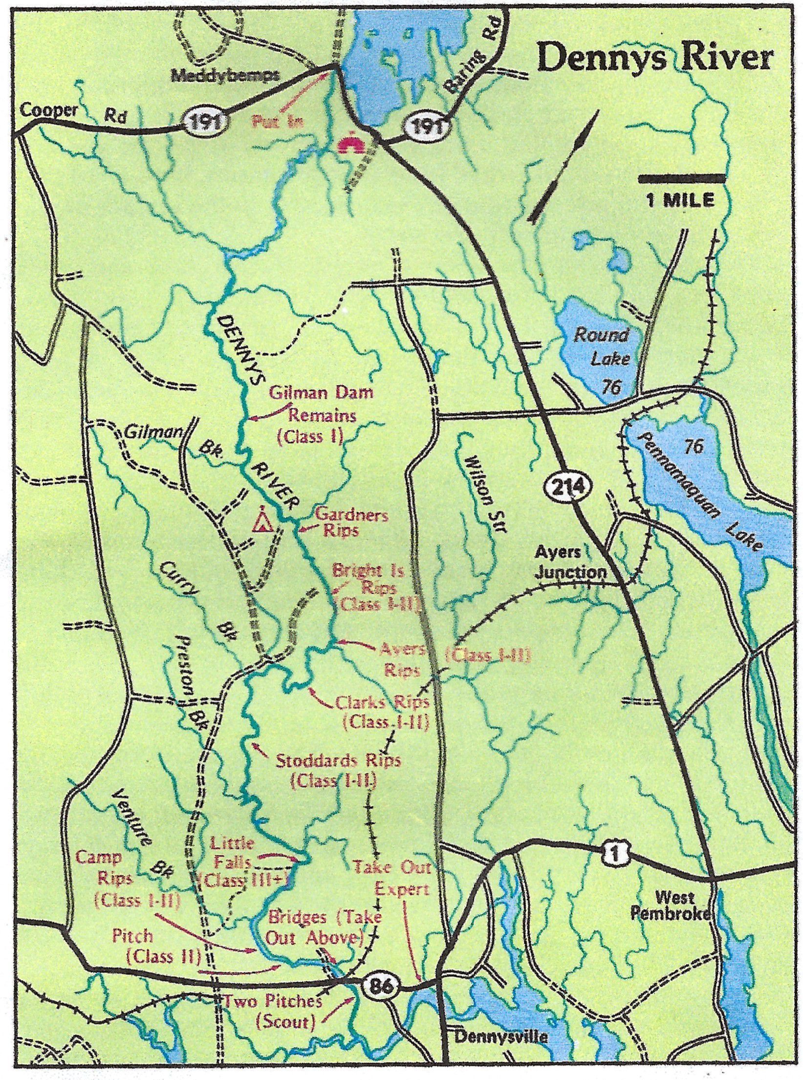
Bright Island Rips
Map
U.S.G.S. Topographical Map, Gardner's Lake, Maine, 1941.
Bright Island Rips are a Class I-II rapids beyond Bright Island on the Dennys River.
![From Gardner's to Stoddard's Rips on the Dennys River; Detail for the U.S.G.S. topographical map of the Gardner's Lake, Maine, 1941](https://d8e7jbdw4fu0e.cloudfront.net/9956/584efce0-469f-11ee-9287-7bf783a8a0d4-ufvdYS9.lg@2x.jpg)