Go back


All Entries
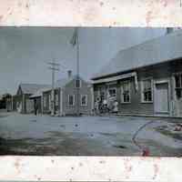
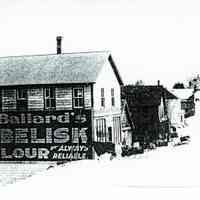
A.L.R. Gardner Store, Dennysville, Maine, around 1900.
Photograph
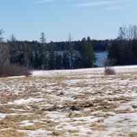
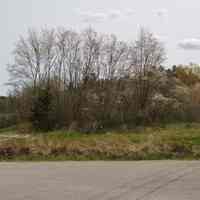
Belyea Cove, Edmunds, Maine
Photograph
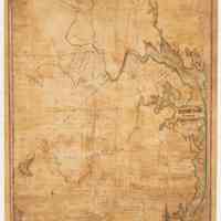
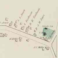
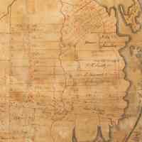
Benjamin R. Jones, Plan of Edmunds, 1836
Work on Paper
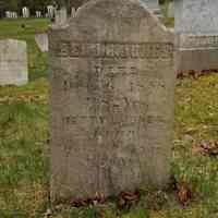
Benjamin R. Jones, Surveyor, Gravestone
Object/Artifact
Childhood Memories by Ellen Lincoln Matthews, 1989
Book
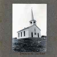
Congregational Church, Dennysville, Maine
Photograph
Dennys River from the Lower Bridge with Gardner Stores
Postcard
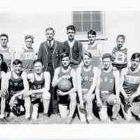
Dennysville High School Boys Basket Ball Team 1940
Photograph
Dugald C. McLauchlan Grave, Dennysville, Maine
Photograph
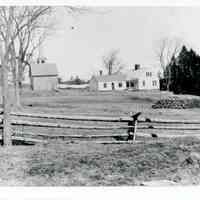
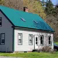
Dugald C. McLauchlan House, Dennysville, Maine
Photograph
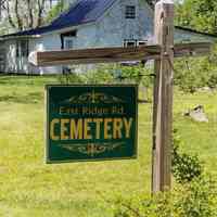
East Ridge Cemetery, Cathance Township, Maine
Photograph
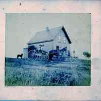
Farm House at Hurley Point, Edmunds, Maine
Photograph
Forrest Leighton, July 4th, 1964, Dennysville, Maine
Photograph
Gardner Family Photographs
Photograph
H.A.M Jones House, Dennysville, Maine
Photograph
H.A.M. Jones House, Dennysville, Maine
Photograph
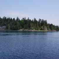
Hallowell's Island, Edmunds, Maine
Photograph
Jones-Hallowell House, Edmunds, Maine
Photograph
Jones-Sheahan House, Foster Lane, Dennysville
Photograph
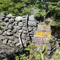
Little Falls Old Bridge Abutment, Edmunds, Maine
Photograph
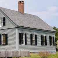
Lower Dennysville Schoolhouse, Relocated
Photograph
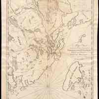
Map of Passamaquoddy and Machias by Benjamin R. Jones
Map
Map: Edmunds 1836-B.R Jones
Map
Maps of Bodies of Water in Washington County, Maine
Map
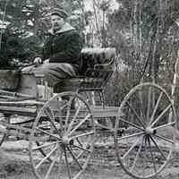
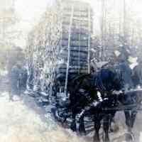
Nat Smith With his Horse and Wagon.
Photograph
Peter Gardner-Kilby House, Dennysville, Maine
Photograph
Plan of Edmunds, Washington County, Maine, 1863
Work on Paper
Potter-Phinney-Cox House at Little Falls, Edmunds
Photograph
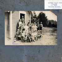
Preston District School, Edmunds, Maine
Photograph
Samuel L. Jones House Site and Carpentry Shop, Dennysville Maine
Map
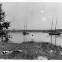
Schooners Off Hurley Point, Edmunds, Maine
Photograph
Smith Ridge Road, Dennysville, Maine
Photograph
South Edmunds School, Hallowell District, Edmunds, ME
Photograph
Stephen H. Jones House Site, Dennysville, Maine
Map
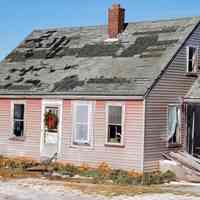
Thomas Eastman Sr. House, Dennysville, Maine
Photograph
Venture Brook Logging Road, Edmunds, Maine
Photograph
W.H. Smith House, South Edmunds Road
Object/Artifact