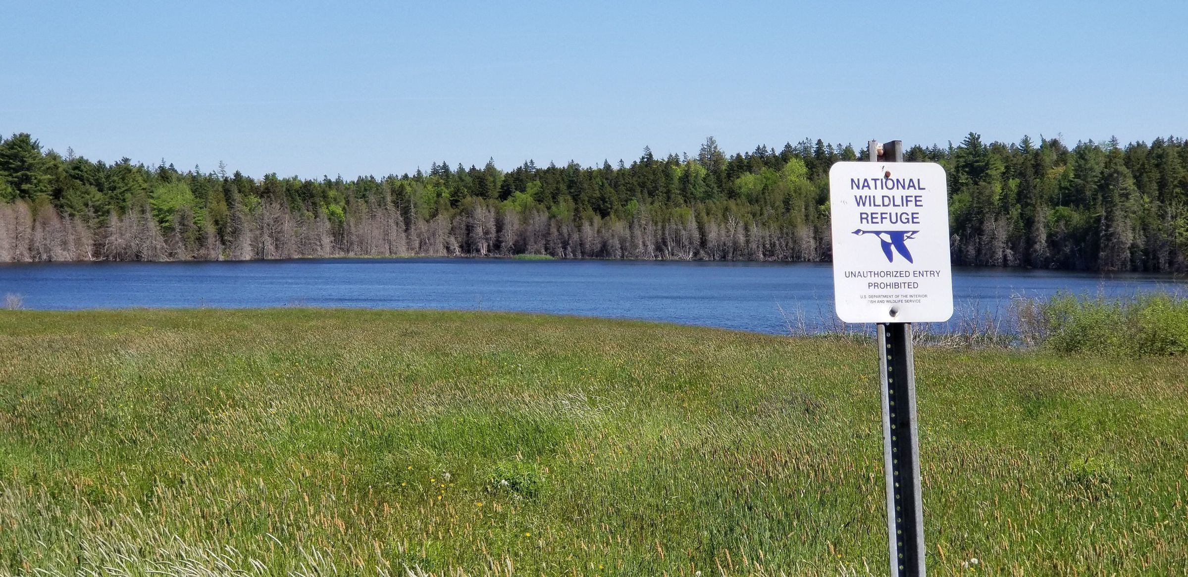
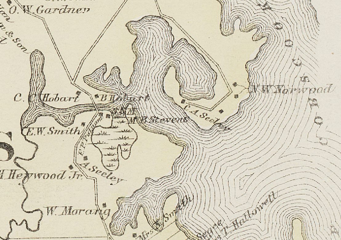
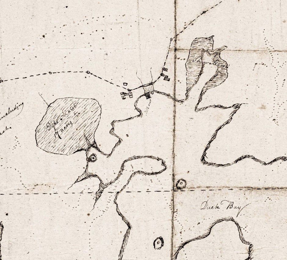
Tidal Marsh at Little Falls
Photograph
Photographic view of the tidal marsh at Little Falls, noted on surveyors plan of the eastern portion of Edmunds in 1839, with a representation of the area from the Colby Atlas of 1881.
This seventeen-acre marsh was a highly desirable wetland prized by the early settlers for its abundant wildlife and marsh hay. Divided between Nathaniel Hobart and his brother Isaac in the 1790s the land was originally diked to facilitate the harvest of hay, a practice that has continued to the present day.
Contemporary Photographs of the Dennys River AreaPhotos for Map