Skip to content
Login Here
| Not a member?
Join Now
Donate
Become a Member
About DRHS
Interactive Map
Collections
News & Events
Contact Us
Member Access
About DRHS
Interactive Map
Collections
News & Events
Contact Us
Member Access
Login Here
| Not a member?
Join Now
Become a Member
Donate
About DRHS
Interactive Map
Collections
News & Events
Contact Us
Member Access
About DRHS
Interactive Map
Collections
News & Events
Contact Us
Member Access
Go back
Prev Item
Next Item
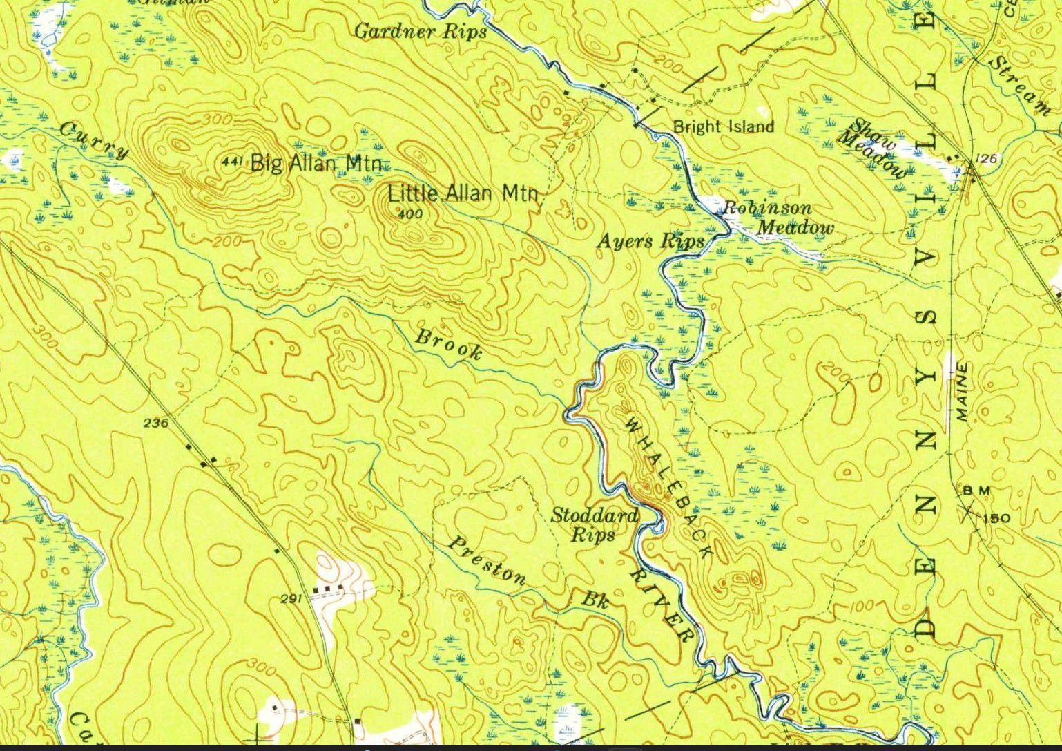
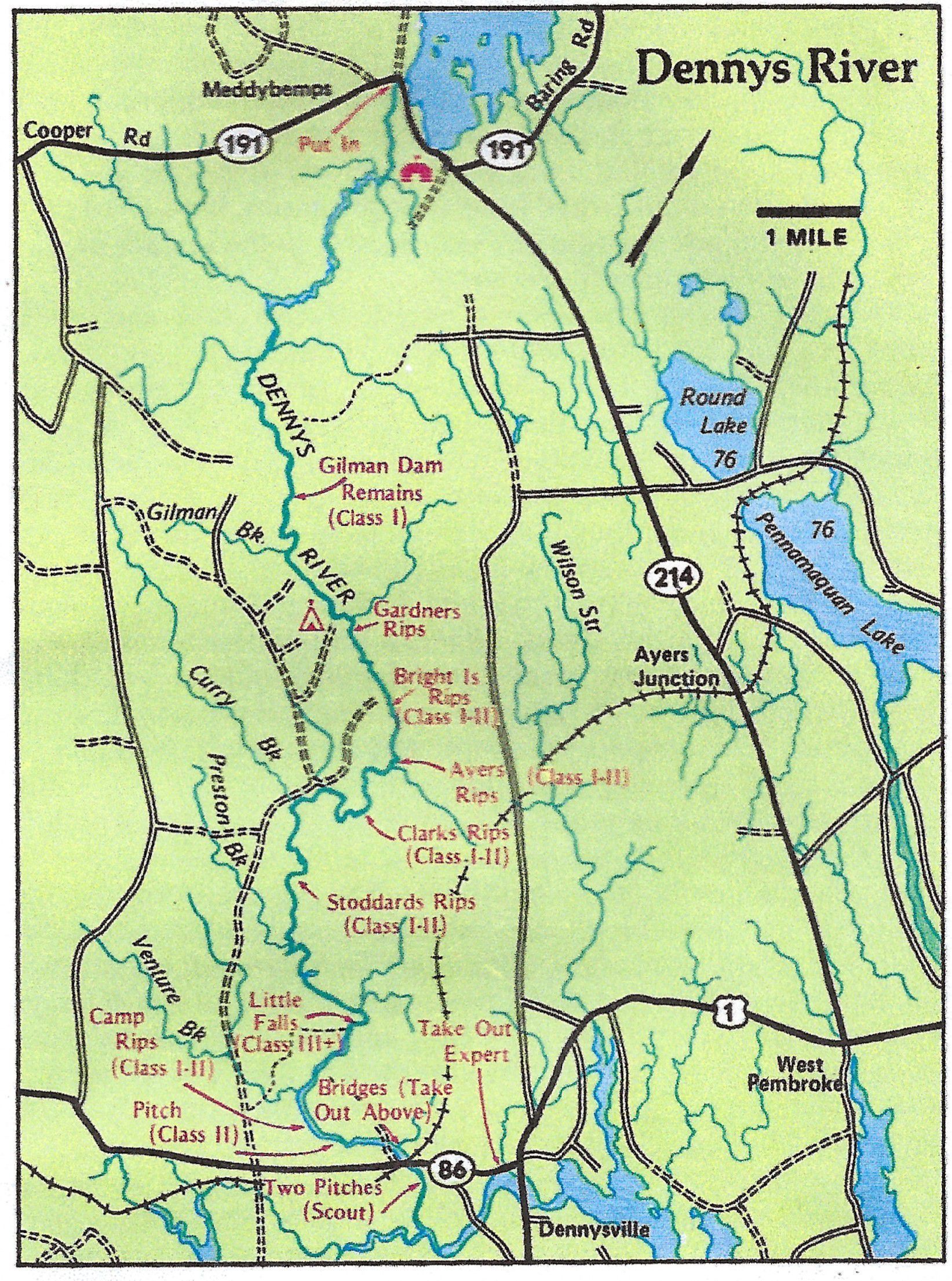
Curry Brook on the Dennys River
Map