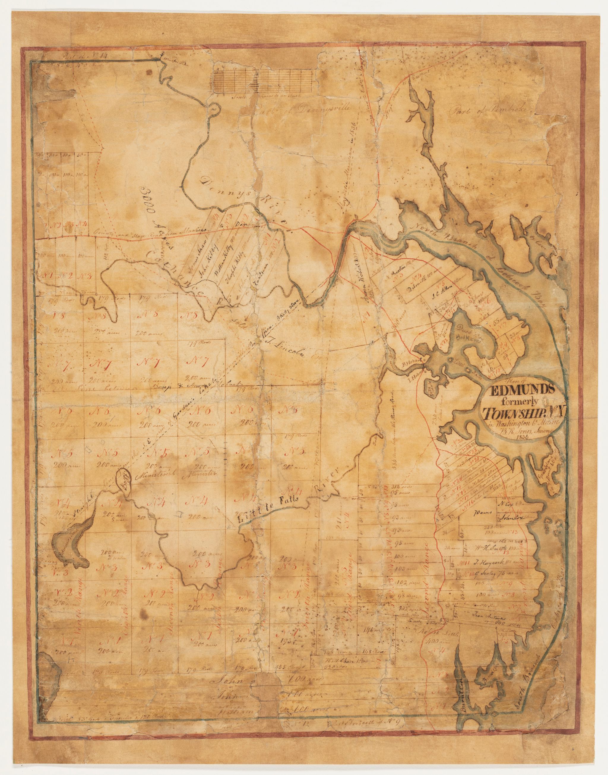
Benjamin R. Jones, Plan of Edmunds, 1836
Work on Paper
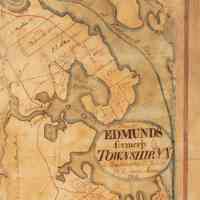
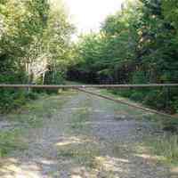
A hand drawn map on paper depicting the Town of Edmunds with property lines and inhabitants in the year 1836, by the noted surveyor Benjamin R. Jones. HIs own house and property can be seen on the road to Duck Bay and what came to known as Hurley Point, just above the cartouche on the map. A gate currently closes off the road to the public.
Photos for Map
