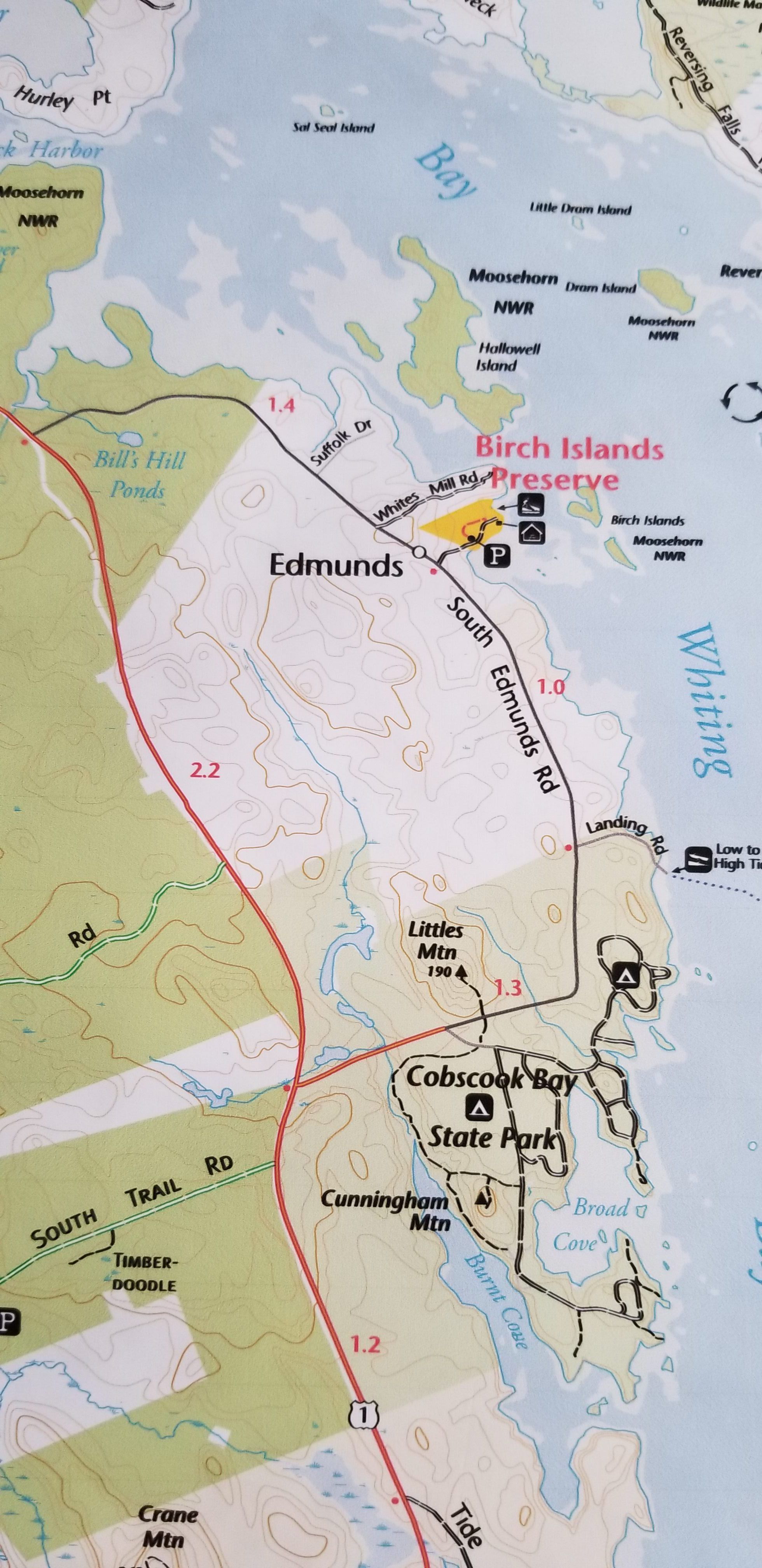
Conservation Land on the South Edmunds Road, Edmunds, Maine
Map
Trail Map of Cobscook Bay, Cobscook Shores Foundation, Map Adventures LLC, 2022.
![Conservation Land on the South Edmunds, Road, Edmunds, Maine; Detail of land under conservation management on the South Edmunds Road, including Cobscook Bay State Park, the Moosehorn National Wildlife Refuge and the Birch Island Preserve, on a trail map prepared by Cobscook Shores Foundation in 2022.](https://d8e7jbdw4fu0e.cloudfront.net/9956/0ac2d3f0-03ad-11ee-9a95-69db8a18e9a9-ufvd2s2.lg@2x.jpg)
Trail Map of Cobscook Bay, Cobscook Shores Foundation, Map Adventures LLC, 2022.