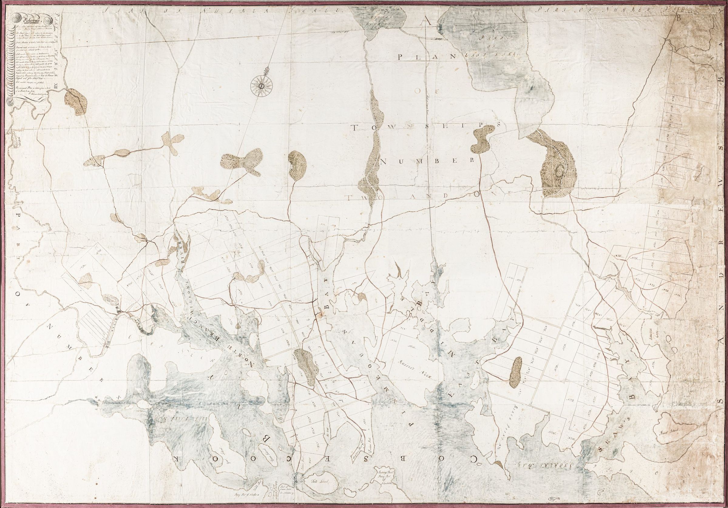
Solomon Cushing's Big Map-1795
Map
A big six foot by eight foot hand-drawn map of Townships No. 1 and 2. prepared by Solomon Cushing around 1797 recording the property lines and roads in the early settlement of what became Perry, Pembroke and Dennysville. Part of Township No. 10, which later became Edmunds, is included, along with details of the surrounding area.
![Solomon Cushing's Big Map of Townships No. 1 and 2 in 1797.; Details of settlement are recorded on this big map of what is today comprises the towns of Perry (No. 1) Pembroke and Dennysville (No. 2) in this oversized map produced by Solomon Cushing in 1797. Part of Township No. 10, which became Edmunds, is visible to the bottom left.](https://d8e7jbdw4fu0e.cloudfront.net/9956/fd86b760-0460-11ee-a13f-9da3948b8f2b-ufvd5uQ.lg@2x.jpg)