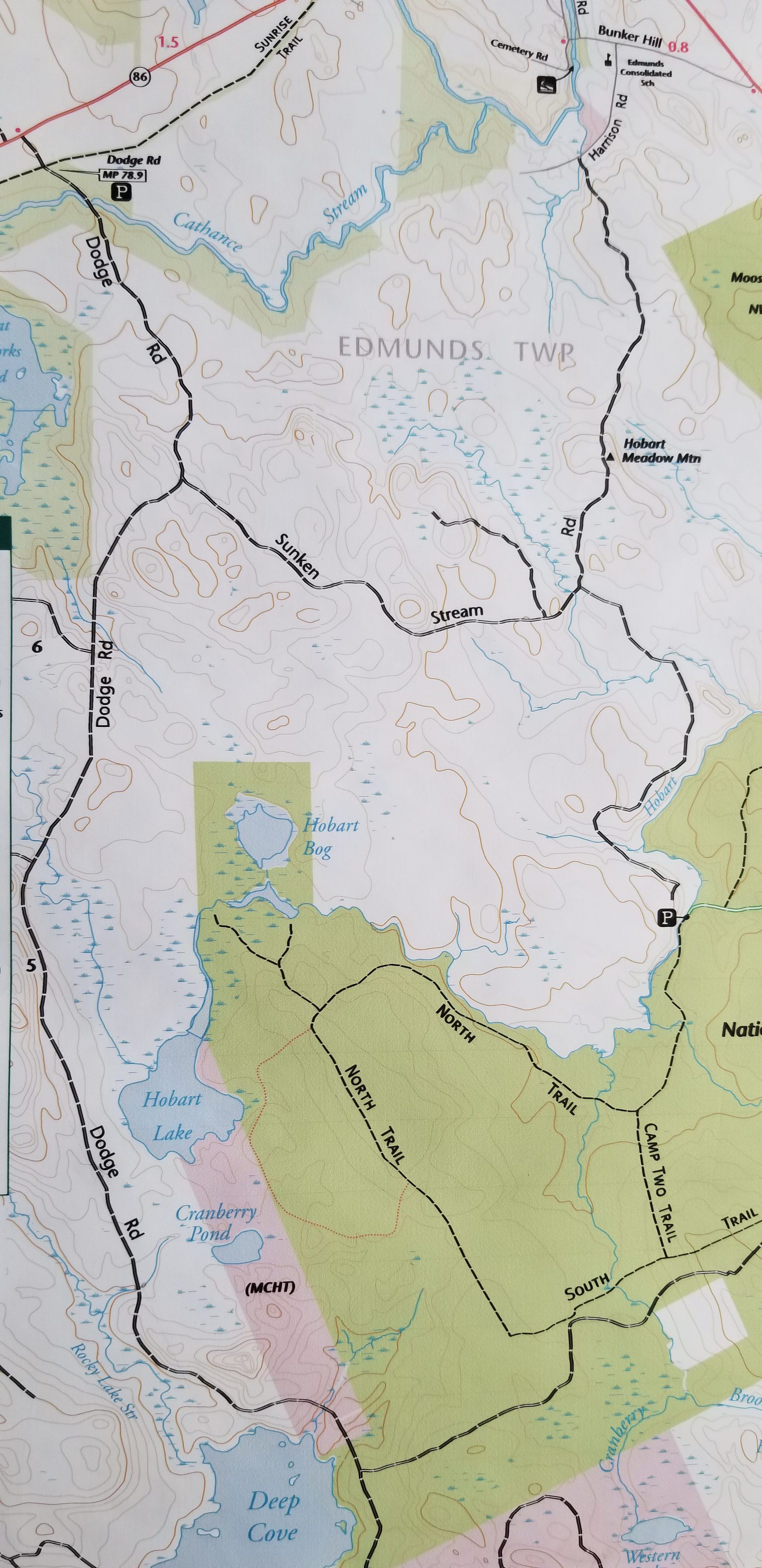
Dodge and Sunken Stream Roads in Edmunds, Maine
Map
This logging road currently provides access to the Dodge Road, which follows the boundary with Marion before crossing into Whiting where it connects to U.S. Route One.
Photos for Map