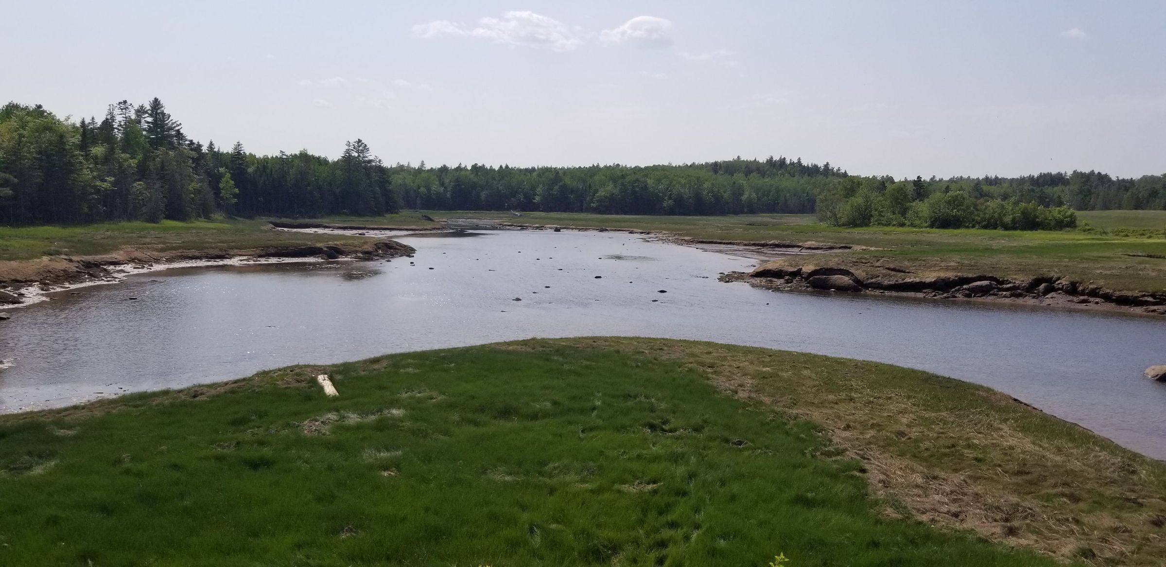
The Marsh on Hobart Stream, Edmunds, Maine
Photograph
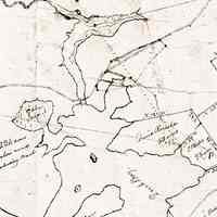
Several views of the tidal marsh in on Hobart Stream in Edmunds, Maine. Considered valuable property, the marsh was carefully marked on the map of Edmunds drawn around 1820, along with the 17 acre marsh at Little Falls. The tidal marsh and adjacent hay fields are now part of the Moosehorn National Wildlife Refuge.
Contemporary Photographs of the Dennys River AreaPhotos for Map
