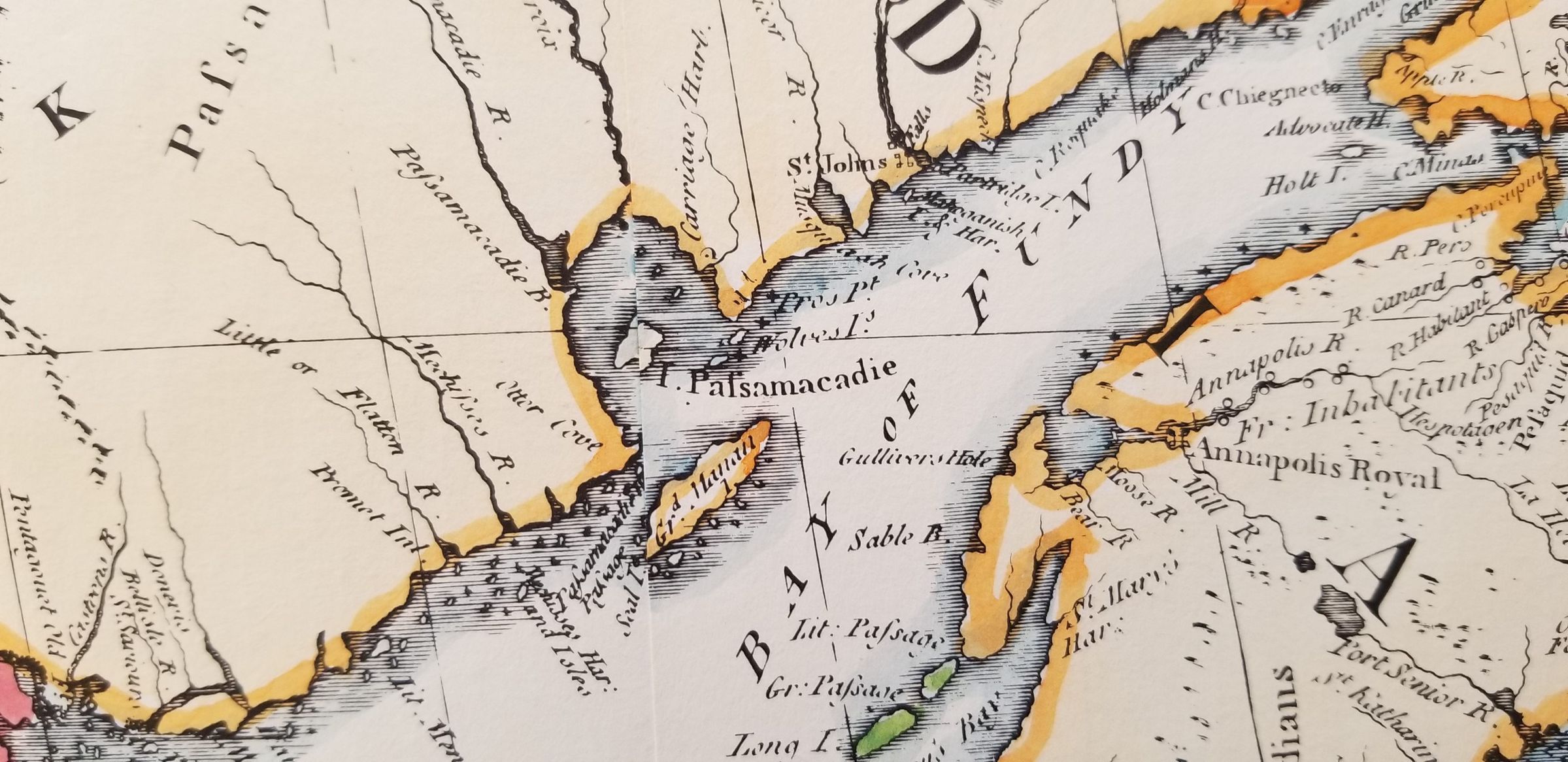
Go back Prev Item Next Item Detail of Passamaquoddy Bay from John Mitchell's Map British North America, Amsterdam, 1755 Map CollectionPhotos for MapWeb Links and URLsLink to the Mitchell Map at the Norman B. Leventhal Map Center at the Boston Public Library